TENERIFE VIEWPOINTS 🌺
Pico del Inglés viewpoint
The Pico del Inglés is one of the highest mountains in the municipality of Santa Cruz de Tenerife, on the island of Tenerife, with 990 meters above sea level. It is located in the Macizo de Anaga and there is a viewpoint.
It was originally called Pico de las Aguilillas, probably because of the birds that were sighted from this area.
Pico del Inglés viewpoint.
The TF-114 highway, which actually surrounds it, reaches the peak of Inglés to return to its point of origin, on the TF-12 highway (from San Andrés to Las Canteras). The distance from the TF-12 is one kilometer.
Source: https://es.wikipedia.org/wiki/Pico_del_Ingl%C3%A9s
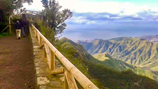
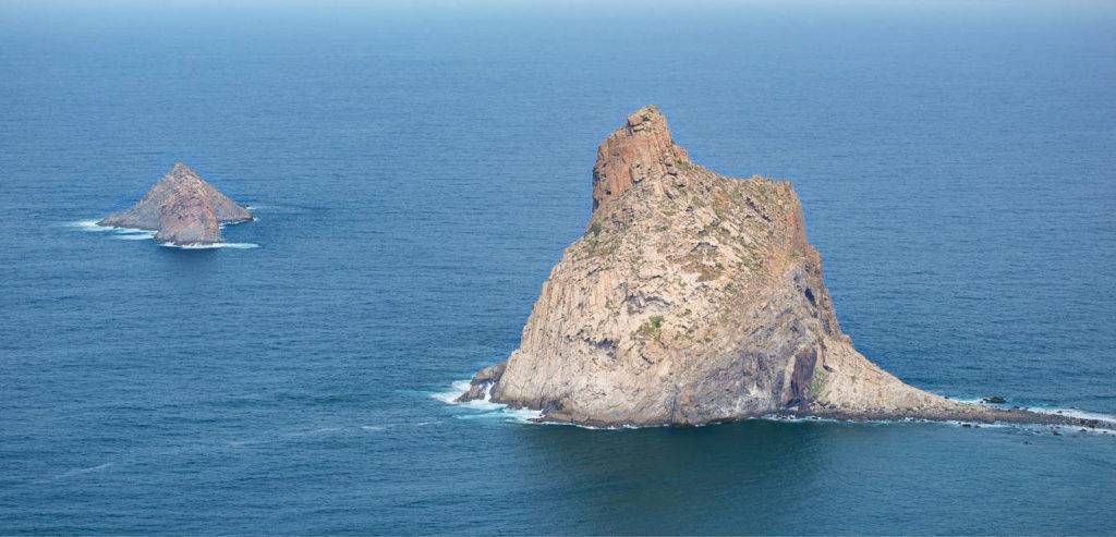
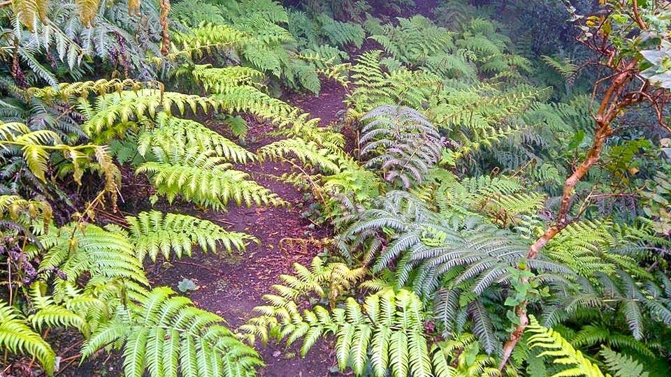
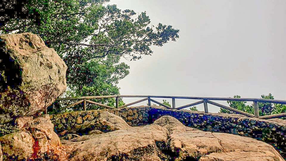
Photographs by Gerardo Oronoz.
PICO DEL INGLÉS VIEWPOINT MAP:
If you visit this viewpoint, remember to comply with the established rules. Look at them on the official pages. Do not damage these natural spaces and do not leave traces of garbage.
Pico del Inglés viewpoint.
Amateur videos of the island of Tenerife on our YouTube channel.
There are magical places on the island of Tenerife that are totally out of the movie and one of them is the Arco de Juan Centella.
This arc of volcanic origin is located in the municipality of Icod de los Vinos, in the north of the island of Tenerife.
The path is not approved and its use due to landslides is not recommended.
Pico del Inglés viewpoint
Another viewpoint that we recommend you visit, in the following link you will know it a little more. The Mirador de la Piedra de la Rosa, a place that you can find on the road to the National Park of Las Cañadas del Teide, TF-21 de La Orotava. It is the result of a combination of processes that began when the lava flow that formed this unique structure cooled.
